New Major Release of GRASS GIS
Vaclav (Vashek) Petras
Anna Petrasova
NCSU GeoForAll Lab
at the
Center for Geospatial Analytics
NC State University

NCGIS 2021 Virtual
Vaclav (Vashek) Petras
- BS & MS in Geoinformatics, Czech Technical University in Prague
- PhD in Geospatial Analytics, NC State
- Geospatial Research Software Engineer at NC State
- GRASS GIS Development Team Member
- GRASS GIS Project Steering Committee Member
- Open Source Geospatial Foundation Charter Member
Community & Shared Improvements
- GRASS GIS community:
- Provides software to the public.
- Shares its source code.
- Includes latest additions.
Credit goes to the whole community, not just this talk's authors.
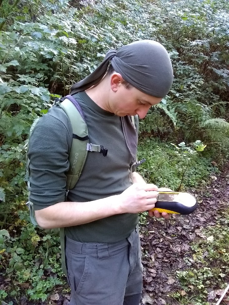
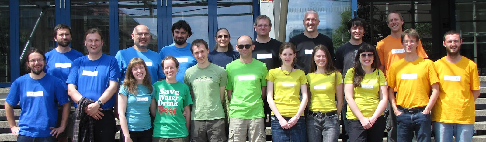
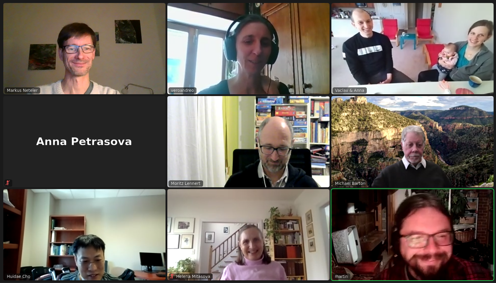
Real Virtual Community
- Open community of users and developers
- Contributors to code, documentation, translations, …
- Project Steering Committee
- PSC Chair: Verónica Andreo
Access to Source Code
Documentation links to relevant parts of the source code.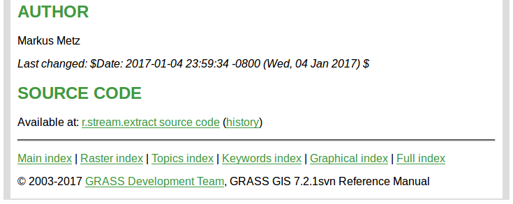
by Luca Delucchi
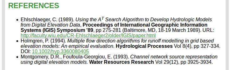
Scientific Foundation
- references to related scientific papers
- references to papers associated with a tool
Return of Investment
- Emphasis on backwards compatibility
- No increasing license fees over time
- Employer-independent
- Contractor-independent
All-in-one
- All matured tools available right away
- Download of experimental tools possible
- Network analysis, hydrology, remote sensing, …
GRASS GIS 8.0.0
- Roadmap:
- 7.8.5 December 2020
- 7.8.6 Spring 2021
- 8.0.0 Spring 2021
- Presented here
- PROJ 6.0.0, 7.0.0 (and above) support
- 8.0.1 Summer 2021
Dark Theme Support
Interface respects system dark theme.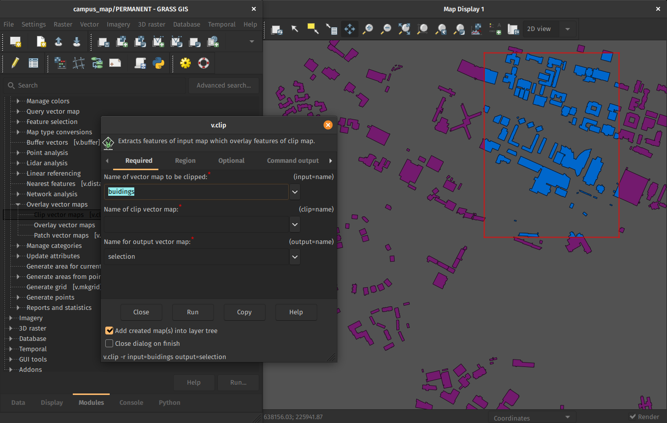
by Anna Petrasova, Nicklas Larsson
Improved First-time User Experience
Initial project sets up automatically. Guidance provided for next steps.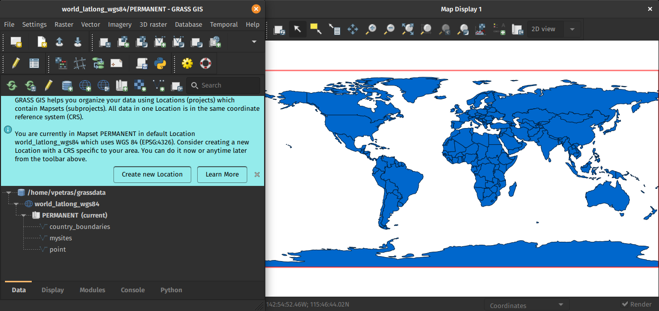
by Linda Kladivova & rest of the community (many reviews, calls, user surveys, …)
Centralized Data Management
All data manipulation centered around revamped Data tab.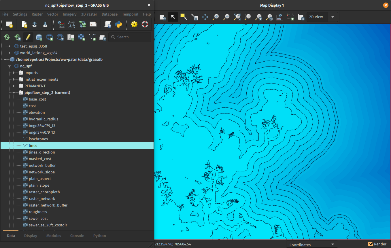
by Linda Kladivova, Anna Petrasova, Vaclav Petras
Skeletons and Centerlines
v.voronoi tool can now create area skeletons and centerlines.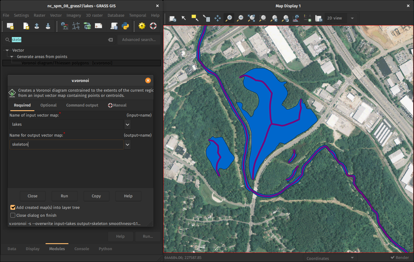
by Markus Metz
Faster External Data Links
r.external links (opens) external raster data (GeoTiffs, …) faster.(2-5× faster, or almost no time for some workflows)
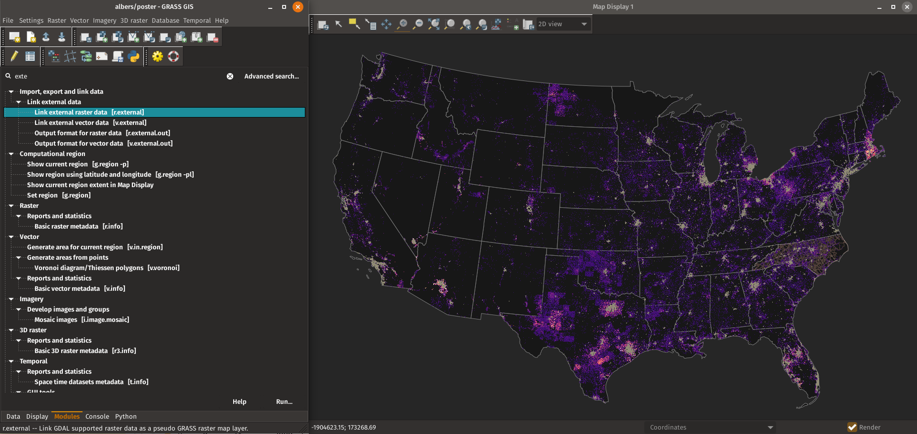
by Markus Metz
Great for workflows when only portion of the data is processed in GRASS GIS.
GitHub-centered Software Development
- "Fork me on GitHub"
- Filling out issues (tickets) requires only GitHub login.
- All issues are publicly visible.

Open an Issue: Feature Request
Open an issue to suggest a new feature.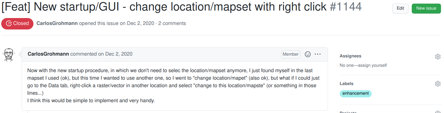
Open an Issue: Bug Report
Open an issue to report that something is not working.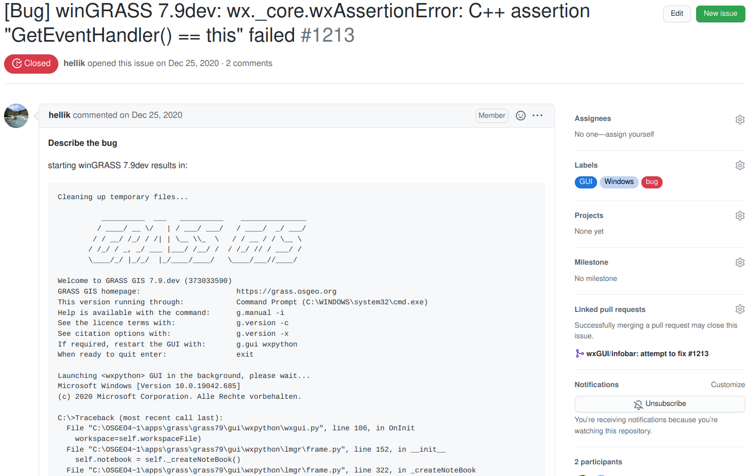
Propose Changes: Pull Request
Contribute to code or documentation by proposing a set of changes.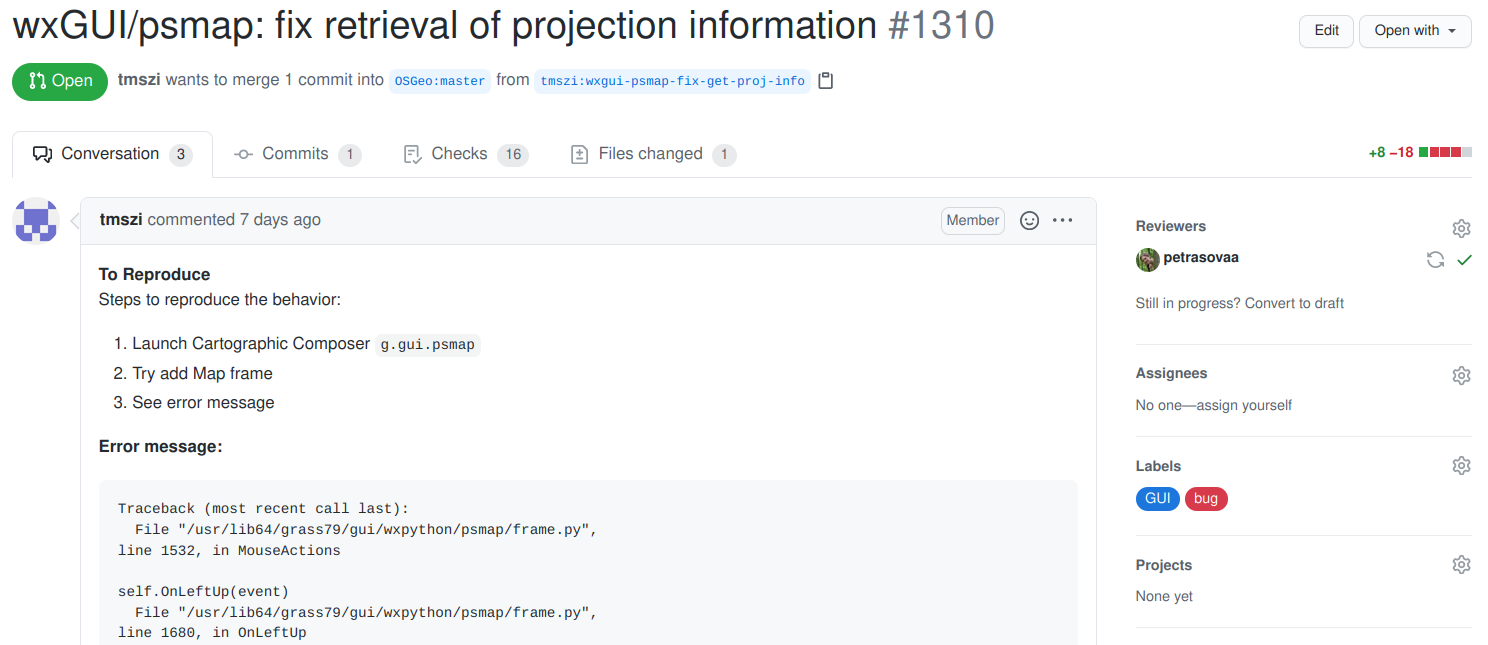
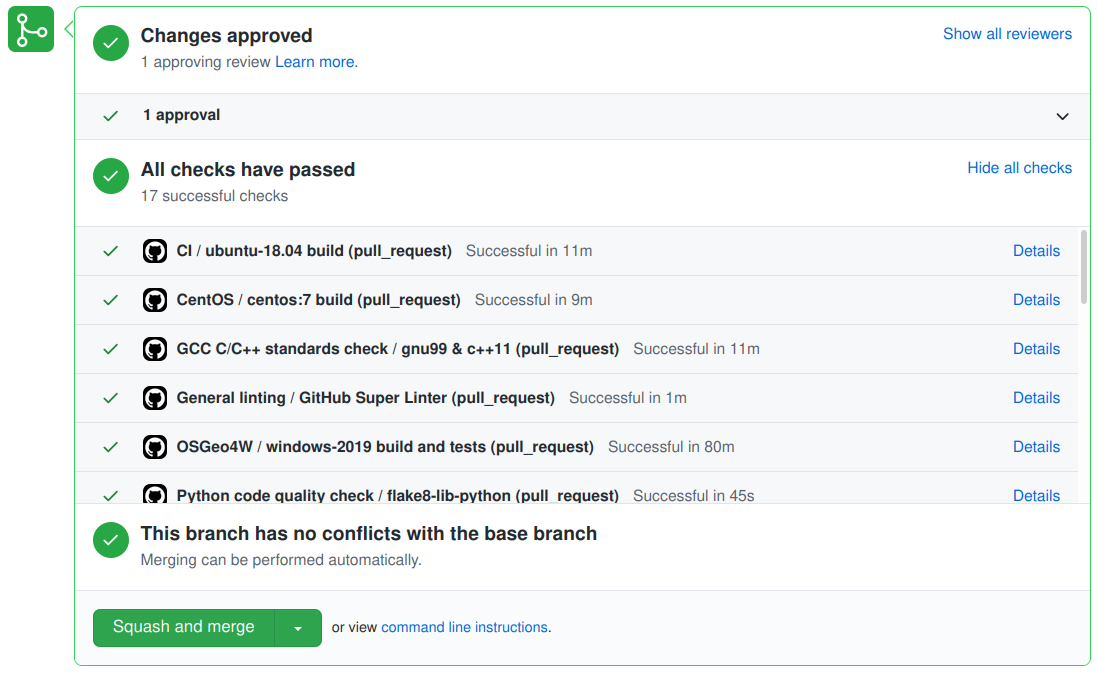
Tests of Proposed Changes
- To propose a change, contributor opens a pull request (PR)
- Continuous integration (CI) in GitHub Actions runs checks
- Checks of code quality, standards, functionality before code
- Manual evaluation, testing and feedback
- Repeat as needed
Google Summer of Code
- Stipend program by Google for students.
- Students work on code with an open source project.
- New rules in 2021: shorter commitment, greater eligibility.
- Students: Engage with an org. or project + Apply at Google.

Support
- Community support
- user mailing list (with vast archives since 1991)
- GIS StackExchange
- …
- Commercial support
NCSU CGA Support
- open source development and support
- research software engineering as a service
- consultation, skill-transfer, personalized training
- support for tools created by NCSU CGA

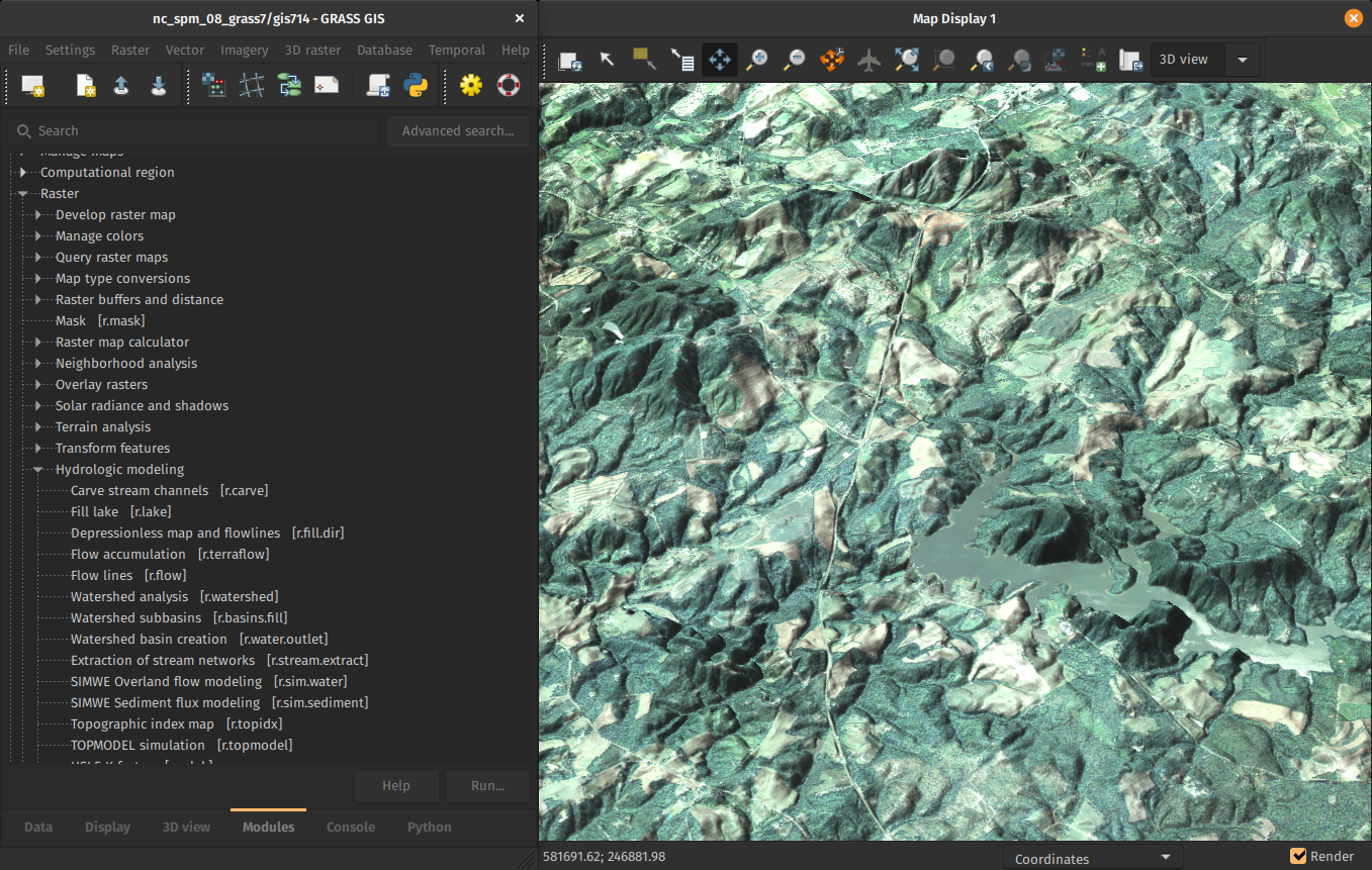
FUTURES
r.futures - set of tools for urban growth modeling
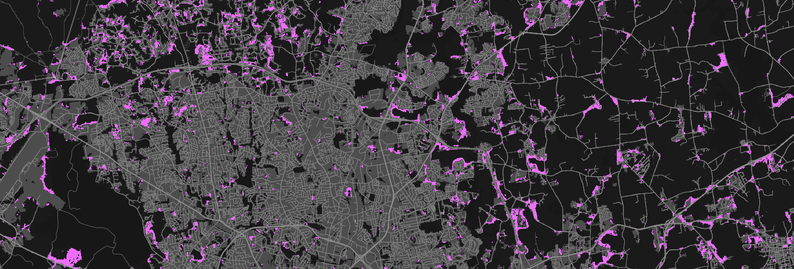
by NC State Center for Geospatial Analytics
See poster:
FUTURES v2: Urban Growth Modeling at Scale
Thursday, 5pm
PoPS
r.pops.spread - Pest or Pathogen Spread simulation
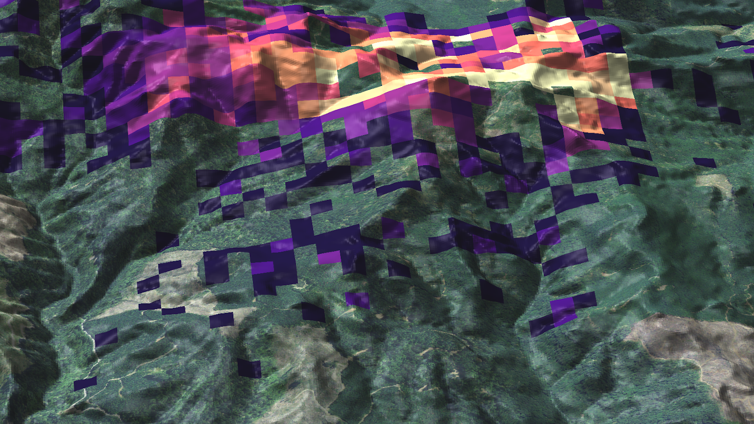
by NC State Center for Geospatial Analytics
Tangible Landscape
Geospatial tangible user interface
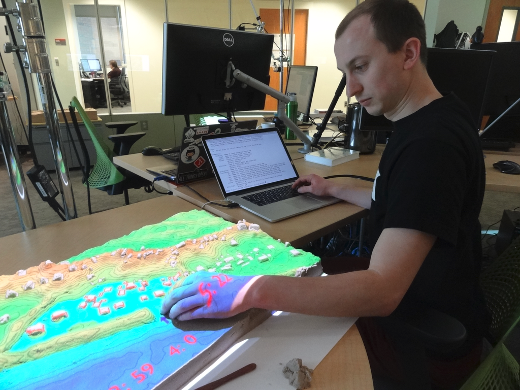
by NC State Center for Geospatial Analytics
Valley Bottom Flatness Index
r.valley.bottom - Multi-resolution Valley Bottom Flatness (MrVBF)
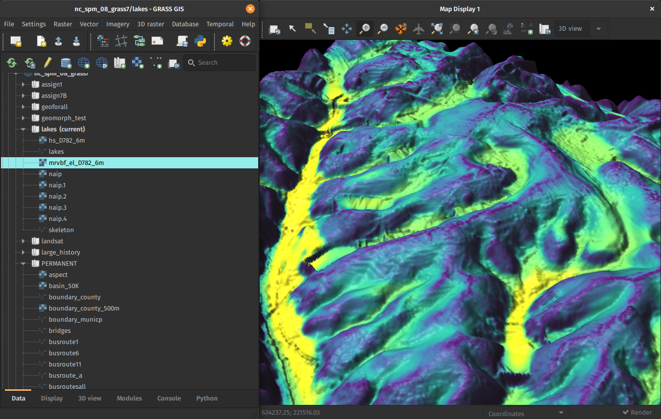
by Helmut Kudrnovsky, Steven Pawley
Sentinel, MODIS, Landsat, NED, NAIP
Automated download and import of common datasets i.sentinel, i.modis, i.landsat.download, r.in.usgs, …
by Luca Delucchi (Fondazione Edmund Mach), Martin Landa (OpenGeoLabs), Anika Weinmann (mundialis), Guido Riembauer (mundialis), Roberta Fagandini (GSoC), Zechariah Krautwurst (GSoC), Anna Petrasova (NC State University), Vaclav Petras (NC State University), Veronica Andreo (CONICET, Argentina), …
Resources
- Documentation:
- Tutorials:
-
Books:
- Open Source GIS: A GRASS GIS Approach
- Tangible Modeling with Open Source GIS
- GIS-based Analysis of Coastal Lidar Time-Series
- Open Source Approaches to Spatial Data Handling
Install GRASS GIS for free with this link in next 24 hours: grass.osgeo.org
Twitter: vaclavpetras
LinkedIn: Vaclav Petras
wenzeslaus.github.io/grass-gis-talks
Thank you for Attending - This Session Has Ended