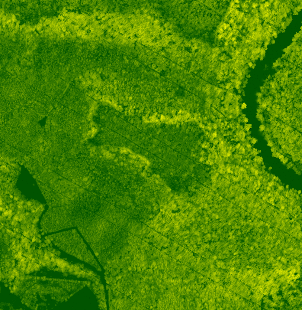
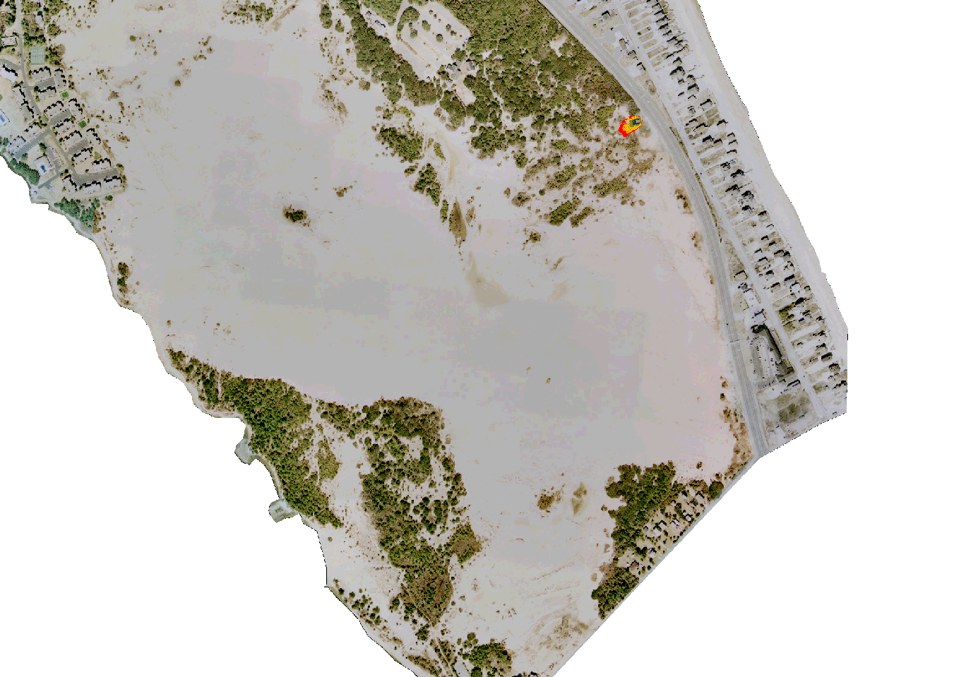
Wildfire spread simulation result in a web mapping applicationFire spread simulation around Indian Hill (in the center) in Mammoth Cave National Park.Fire spread simulation in Jockey's Ridge State Park.Two scenarios of wildfire spread in Tangible LandscapeTwo scenarios of wildfire spread in Tangible Landscape
Petrasova, A., Harmon, B., Petras, V., & Mitasova, H. (2015).
Wildfire Spread Simulation.
In Tangible Modeling with Open Source GIS (pp. 105-113).
Springer International Publishing.
Software
GRASS GIS modules I used and contributed to:
r.ros,
r.spread
and a module not included in the distribution
r.fire.spread.