Projects
-
3D raster processing of point clouds
I work on methods for processing and for extracting information from lidar and UAV point clouds. I use 3D rasters (voxel model) as a part of processing chain to explicitly represent the 3D relationships.
-

Programming interfaces for running GRASS GIS algorithms
I work on additions to GRASS GIS which make it easier for script authors, programmers, and command line users to run GRASS GIS algorithms in other way than just using the command line or APIs in GRASS GIS. On example is the
--execoption of GRASS GIS command which can run any module or script inside a given GRASS GIS Location and Mapset. -
GSoC: Testing framework for GRASS GIS
I participated in Google Summer of Code 2014 project where I created a testing framework for GRASS GIS. This testing framework is now daily used in GRASS GIS project to ensure quality and stability. See my GSoC project page and Wikipedia article about GSoC to find out more.
-
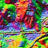
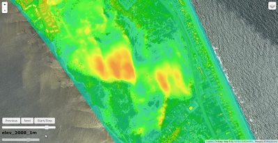
Visualization tools for archeology and lidar and elevation data in general
I'm working on tools for visualizing lidar data in the way which helps archaeologist to find potential archaeological sites and historical constructions. The tools r.shaded.pca and r.local.relief are available in GRASS GIS addons.
-

Spatio-temporal data visualization in GRASS GIS: desktop and web solutions
In this project I'm aiming to satisfy the need for a lightweight solution for publishing web maps from GRASS GIS.
Check the repositories with all the required tools: GRASS modules exporting for web and Web pages for publishing exported data.
Class projects
-
GIS-based fire spread modeling
We use GRASS GIS wildfire toolbox to simulate fire spread based on terrain, available fuel and wind.
-
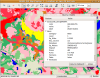
GRASS GIS Interactive classification tool
-
Interactive web design for spatio-temporal data
Online publication is important for spatio-temporal data as well as for any other data. However, there is a lack of general tools for spatio-temporal data visualization on web. This project provides set of tools for easy-to-use online interactive visualization without a need for special server-side tools. The project consists of two parts where one part is a set of interactive web map applications developed using Leaflet JavaScript library and the other provides tools to export spatial data for publishing from GRASS GIS.
Small projects
-

Tools for batch processing and analysis in GRASS GIS
GRASS GIS modules: r.sun.daily, r.sun.hourly, r.lake.series, ...
-
Tangible Landscape Image Viewer
The lack of reliable image viewer on some operating systems especially on MS Windows caused the need for a custom image viewer which would be capable of displaying animated GIF images, provide smooth zooming, and resize image when resizing a viewer window.
The image viewer for Tangible Landscape was written in HTML5 (HTML, CSS and JavaScript) and runs inside a web browser.
Repository: https://github.com/ncsu-geoforall-lab/tangible-landscape-image-viewer
Theses
-
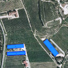
Master’s thesis: Building detection from aerial images in GRASS GIS environment
The general tools were published in GRASS Addons repository. The rest of the tools was published separately. The work was supervised by Ing. Ivana Hlaváčová, Ph.D.
-
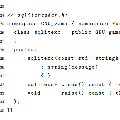
Bachelor's thesis: Support of SQLite database in program gama-local
For the thesis I designed and implemented support for SQLite database as storage in gama-local program which is a part of free and open source GNU Gama project (written in C++) and serves for computation and adjustment of surveying networks. The implementation was required to use SQLite native C interface and callback functions (written in C++). A lot of emphasis was given to quality of code and following of standards for C and C++ in order to get high maintainability and code stability across compilers and platforms. The work was supervised by prof. Ing. Ales Cepek, CSc. It is written in Czech language (Podpora databaze SQLite pro program gama-local).
Older projects
-
Large refactoring of GRASS GIS GUI code
I was working on several projects aiming at substantial refactoring of GRASS GIS GUI (wxGUI) source code (written in wxPython).
-
Walking trails search engine
Between 2009 and 2013, I was developing and maintaining a web application (in C++ using CGI) connected to a database (MySQL) for Czech Tourist Club (KCT).